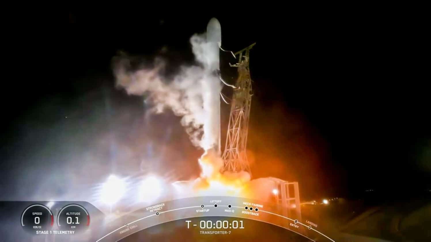
DUBAI, UAE – Dubai Electricity and Water Authority (DEWA) successfully launched its second nanosatellite, DEWA SAT-2, aboard SpaceX’s Falcon 9 rocket from Vandenberg Space Force Base in California, USA.
The launch of DEWA SAT-2 underlines the firm’s commitment in using space technologies to improve the operations, maintenance and planning of electricity and water networks.
The nanosatellite was designed and developed by Emiratis at DEWA’s Research and Development Center, in collaboration with NanoAvionics in Lithuania.
DEWA SAT-2, a 6U nanosatellite, features a high-resolution camera (4.7 meters) that will be used for Earth observation missions.
The high-resolution camera provides continuous line-scan imaging in seven spectral bands from an approximately 500km orbit. The new satellite is also equipped with infrared equipment to measure greenhouse gases.
Saeed Mohammed Al Tayer, MD and CEO of DEWA, said the firm is keen to use the latest technologies of the Fourth Industrial Revolution, including the Internet of Things (IoT), Artificial Intelligence (AI) and blockchain in exchanging information through satellite communications and earth observation technologies.
“DEWA’s Space-D program aims to improve the firm’s operations, maintenance and planning of networks through nanosatellites and remote sensing technologies. The program also seeks to train Emiratis specialized in the use of space technologies in electricity and water networks,” Al Tayer said.
“Launching DEWA SAT-2, our second nanosatellite confirms that we are moving steadily towards leadership in utilizing space technologies to enhance the efficiency of our operations and providing electricity and water services according to the highest standards of availability, reliability and quality, in addition to transferring knowledge and expertise and training our Emirati staff,” he added.
Al Tayer noted that DEWA aims to use nanosatellite technology to support its cloud computing network, thereby enhancing the digitization of energy and water networks.
The objective is to raise effectiveness of planning, operation and preventive maintenance of the production, transmission, distribution divisions, smart grids, power stations and EV charging stations.
This approach is expected to reduce costs and improve the investment of DEWA’s assets.
Waleed bin Salman, Executive Vice President of Business Development and Excellence at DEWA, explained that the high imaging accuracy of DEWA SAT-2 will enable the firm to improve the operational performance of power generation and water desalination plants.
Multi-spectrum, high-resolution thermal imaging devices, such as those used on board spacecraft that are specifically designed for use in electricity and water networks, will be deployed to detect thermal fingerprints in high-voltage transmission lines, substations, buildings and solar power stations.
The combined use of DEWA SAT-2 images and IoT measurements from DEWA SAT-1 will enable the firm to improve the operational performance of power generation and water desalination plants by providing accurate estimates of seawater temperature, salinity, detection of red-tide, fog monitoring and forecasting.
