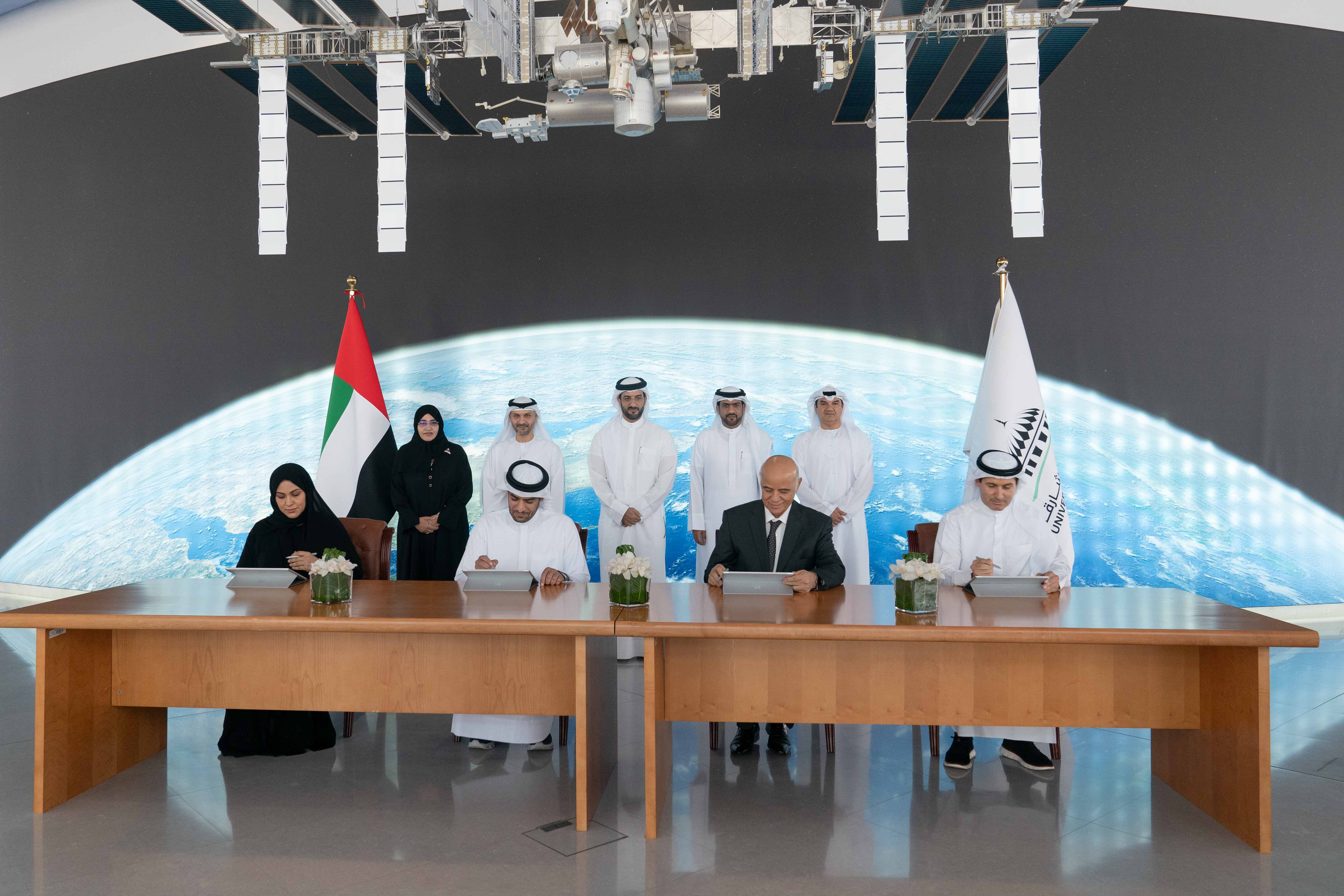
Sharjah, UAE — A cooperation agreement was signed between the Sharjah Academy of Astronomy, Space Sciences & Technology (SAASST), the Department of Town Planning and Survey, the Sharjah Electricity, Water and Gas Authority (SEWA), and the Sharjah Municipality, to work on implementing the Cube Satellite project, Sharjah Sat-2.
Sheikh Sultan bin Ahmed bin Sultan Al Qasimi, Deputy Ruler of Sharjah and President of the University of Sharjah (UOS), witnessed the signing.
The agreement represents an effective collaboration between governmental and academic institutions affiliated with the University of Sharjah to implement projects of great importance and benefit at various scientific, environmental and urban levels.
The outcome of this project will help diverse parties in making decisions, developing future plans, and conducting scientific research by making use of the accurate information provided by the Sharjah Sat-2 satellite.
The collaboration agreement is for the Sharjah Sat-2 project, which is a cubic satellite made up of 6 cubic pieces with dimensions of 10*20*30 centimeters in length, width, and height.
As with all cubic satellites, the project will include five sub-operating systems and a basic payload, in addition to the ability to add a supplementary load to accomplish multiple tasks at the same time.
The primary payload for Sharjah Sat 2 will be a spectral camera with a resolution of up to 5 meters.
The project will focus on providing the parties funding and sponsoring the project with the scientific data and captured photos by the camera which can be used in urban planning and environmental study.

