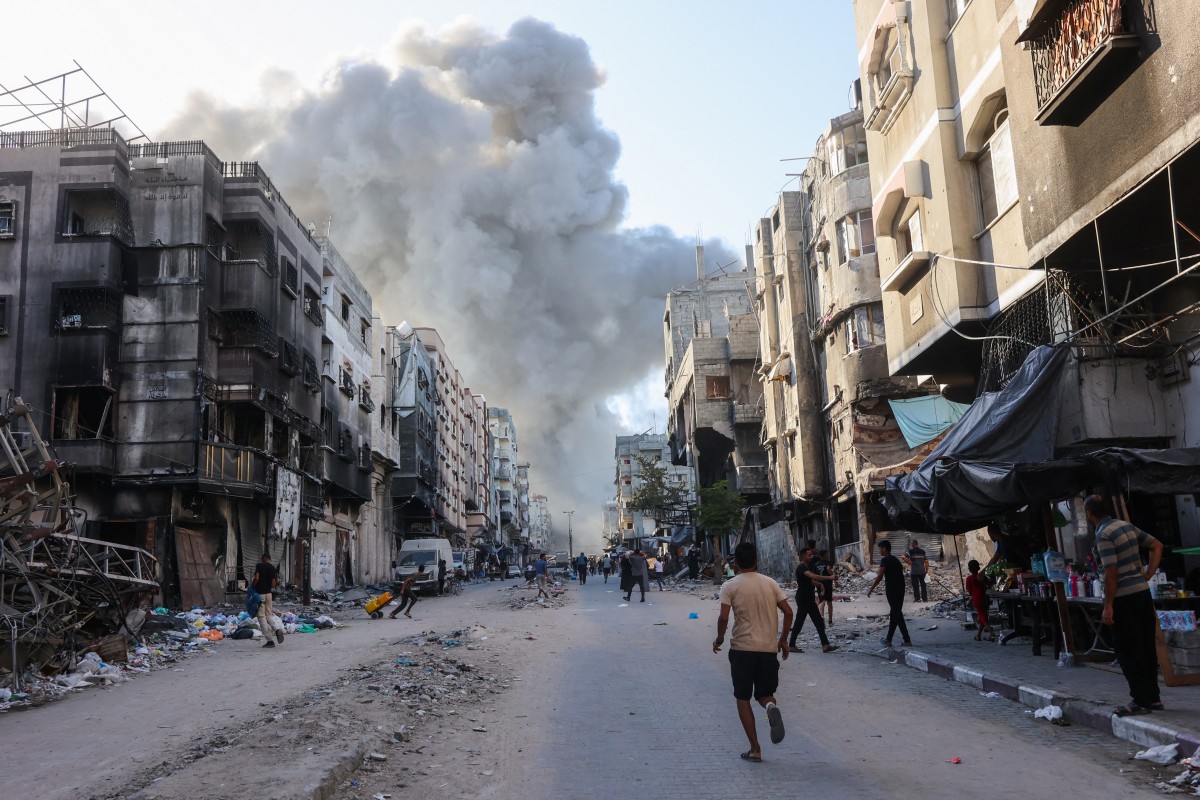
Geneva, Switzerland – The United Nations Satellite Centre (UNOSAT) has identified 46,223 destroyed structures, 18,478 severely damaged structures, 55,954 moderately damaged structures, and 35,754 possibly damaged structures, totalling 156,409 structures in the Gaza Strip. The large-scale infrastructure damage is the result of continuous Israeli attacks on the Strip, which have been ongoing for almost 10 months.
In its latest Gaza Strip Comprehensive Damage Assessment for July 2024, developed based on satellite imagery analysis, the UN centre said that these numbers “correspond to around 63 percent of the total structures in the Gaza Strip and a total of 215,137 estimated damaged housing units”.
The governorates of North Gaza and Rafah have experienced the highest rise in damage compared to the May 3, 2024 analysis, with around 2,300 new structures damaged in North Gaza and around 15,030 in Rafah, UNOSAT added. Within Rafah, Rafah City municipality had the highest number of newly damaged structures, totalling almost 10,100.
The map shown in the report, published 31st July, illustrates a satellite imagery-based comprehensive assessment of damage and destruction to structures within the area of interest in the Gaza Strip, Occupied Palestinian Territory, based on images collected on 6th July 2024 when compared to images collected on 1st May 2023, 10th May 2023, 18th September 2023, 15th October 2023, 7th November 2023, 26th November 2023, 6th-7th January 2024, 29th February 2024, 31st March – 1st April 2024, and 3rd May 2024.