Washington, United States– NASA launched two small satellites designed to track tropical cyclones hour by hour from a base in New Zealand on Monday, in a project that could improve weather predictions on devastating storms.
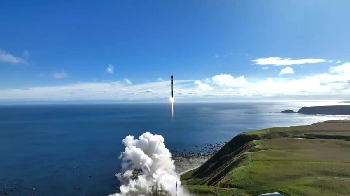
The new storm trackers, sent into orbit on a rocket built by US company Rocket Lab, can fly over hurricanes (or typhoons in the Pacific) every hour, compared to every six hours with current satellites.
Researchers will be able to see storms evolve on an hourly basis, said NASA scientist Will McCarty at a press conference for the first launch of the TROPICS mission.
“We still need the large satellites,” he added. “What we get from this is the ability to add more information to the flagship satellites that we already have.”
A second Rocket Lab-built vessel is due to launch in about two weeks carrying two more satellites to complete a small constellation of four storm-tracking satellites.
The information gathered on rainfall, temperature and humidity could help scientists determine where a hurricane will make landfall and how intense it will be, helping people living in coastal areas be better prepared for possible evacuations.
“Many operational organizations like the National Hurricane Center and the Joint Typhoon Warning Center and many others are ready to receive tropical imagery to help inform their forecasters,” said Ben Kim, a program executive at NASA.
In the long term, a better understanding of the formation and evolution of these storms could help improve climate models.
The constellation was originally intended to have six satellites, not four, but the first two were lost when a US Astra rocket malfunctioned shortly after lift-off last year.
Hurricanes, or typhoons, are becoming more powerful as the ocean surface warms, scientists say.
Hurricane Ian, which devastated Florida in 2022, killed dozens of people and caused more than $100 billion in damage, making it by far the world’s most expensive weather disaster of the year.